Why is this trail red? I don’t see that color on the key. Is the key just incomplete? Of the SkyAware map it displays as the rightmost color in the key. Perhaps the key should be expanded to show all the possible colors if that’s really what’s going on, which seems likely.
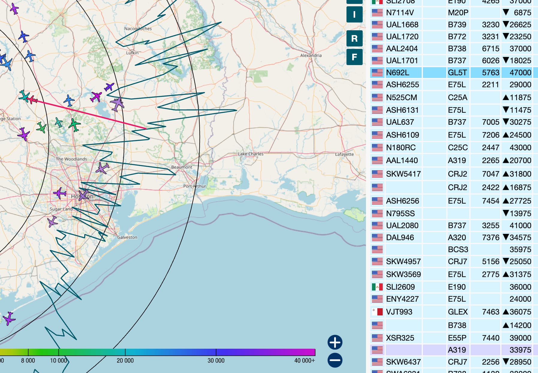
From a quick(ish) look, it appears that the “Altitude Chart” is hard-coded to show only the range up to 40,000ft, but the actual configured range goes up to 51,000ft (full red; hue=360). I’m not sure if that was intentional on the part of the tar1090 developer (upstream from ADSBx) - perhaps he thought it wasn’t necessary to show the top end of the scale, since it’s not utilised much anyway - or an oversight. I think it’s been that way for years…